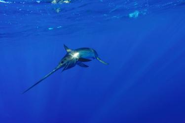
Learn more about EcoCast—a dynamic ocean management tool that aims to minimize fisheries bycatch and maximize fisheries target catch in near real time.
New computer-generated daily maps will help fishermen locate the most productive fishing spots in near real-time while warning them where they face the greatest risk of entangling sea turtles, marine mammals, and other protected species.
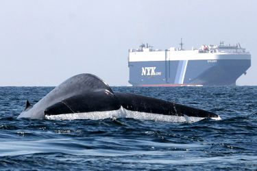
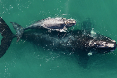
Scientists have long used satellite tags to track blue whales along the West Coast, learning how the largest animals on the planet find enough small krill to feed on to support their enormous size.