During the Summer Survey aboard the NOAA Ship Bell M. Shimada, fisheries acoustics work absorbs the daytime hours between sunrise and sunset. It is when the sun goes down, though, that the survey's oceanographic work kicks into high gear, sampling down through the water column to better understand the upper ocean.
Understanding regional oceanography is important, because environmental conditions at sea influence ecosystem structure, fisheries health, weather, and climate. The Joint U.S.-Canada Integrated Ecosystem and Pacific Hake Acoustic-Trawl Survey affords an excellent opportunity to collected oceanographic data that are used by NWFSC and a wide-range of partners. Scientists from the NWFSC, aboard the Shimada, survey from Point Conception, California to somewhere off western Vancouver Island, BC (or even Dixon Entrance, Alaska).
The core structure of the Survey is a series of parallel acoustic transects. Acoustic transect lines are spaced 10 nmi apart. They run east-west, from 50 m water depth inshore to approximately 1500 m offshore or 35 nmi, whichever is greater. Transects cross the continental shelf, shelf break, and upper continental slope. Each odd-numbered transect is designated as a primary line for the survey's oceanography—for example, lines 1, 3, 5, 7 (and so on). The 20 nmi spacing between primary lines is a good general distance for identifying ocean features like fronts and eddies, and corresponds with general design of the survey's oceanographic time series. Sampling stations are placed at the inshore (50 m depth) and offshore ends (1500+ m) of each primary line, bounding the survey area. Moving offshore, sampling occurs at the 150, 300, and 500 m isobaths. Beyond that, deep sampling stations are placed approximately every 5 nmi.
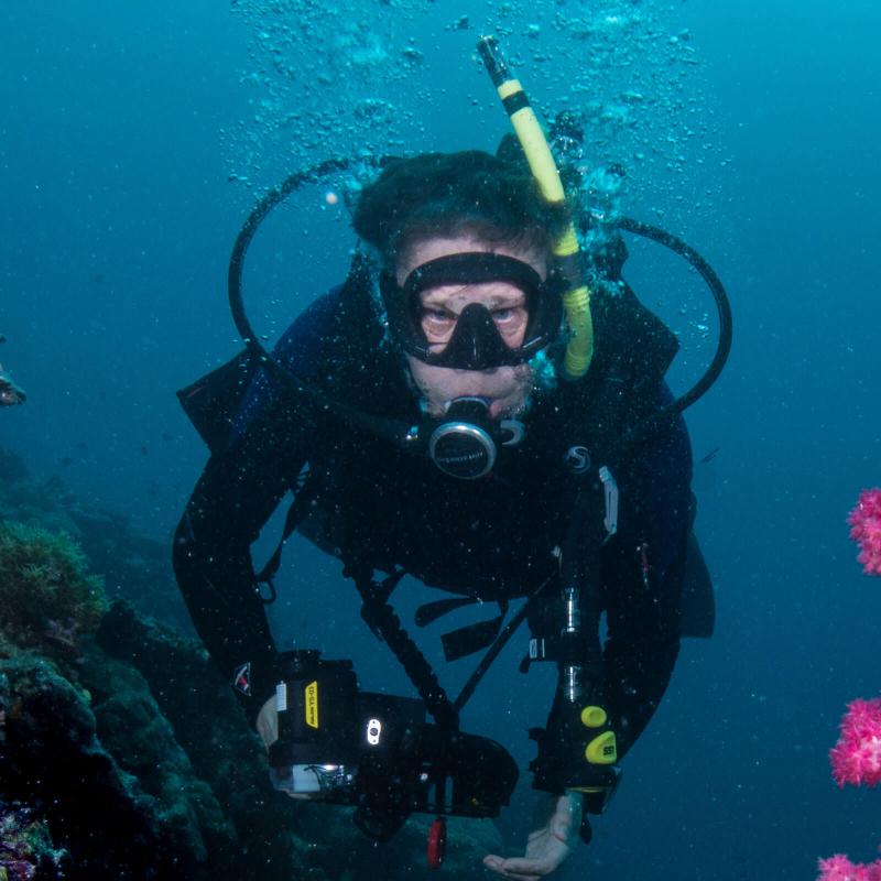
Sampling is done vertically using a winch, hydro-wire, and an instrument system called a CTD (short for Conductivity-Temperature-Depth). The CTD consists of a central pylon made up of various pumps and instruments. Ringing the pylon are Niskin bottles: sampling bottles that can be closed remotely from the surface to collect water at specific depths. During this survey, the Niskin bottles are being used to collect water samples for a partner eDNA project (see previous blog posts by Abi Wells) on Pacific Hake. Wrapped around the Niskin bottles is a metal cage to protect the bottles and instruments. The white metal cage also increases visibility, allowing the winch operator see the CTD as it nears the surface next to the ship. The whole system is called a CTD rosette.
The Shimada's CTD rosette collects a variety of environmental information as it is lowered through the water column to a depth of 500 m or 10 m off bottom, whichever is shallower. It captures the water temperature relative to depth. It also measures conductivity (or how well a medium conducts electricity), which relates directly to the saltiness of the ocean (i.e., salinity). Temperature and salinity, together, can be used to determine seawater density, which is a main driving force behind ocean currents.
Three additional sensors are the dissolved oxygen sensor, fluorometer, and turbidity sensor. Dissolved oxygen is an important parameter in evaluating water quality, because oxygen is vital for the survival of fish and invertebrates like crabs and krill. The fluorometer measures fluorescence from phytoplankton, the tiny plants at the heart of the oceanic food web. Ocean turbidity, or how clear or cloudy the water is, is a measure of how well light penetrates the water-- an important factor in phytoplankton photosynthesis.
In a night's work the Shimada crew and scientists are generally able to conduct between 5 to 7 CTD stations along a primary line. The data collected profiles the dynamic biological and physical oceanography along the shelf-break and upper continental slope. It is usable in many different ways, and is critical information for understanding the biology and distribution of Pacific Hake, and other important species of fish and invertebrates, within the California Current Ecosystem.

Shimada's Leg 4 oceanographic stations. Black odd-numbered lines with the purple "Xs" illustrate the stations. All potential stations are plotted beforehand, making it easier for the Chief Scientist to decide which stations to prioritize. Weather and time permitting, 5 to 7 CTD stations are done each night. Photo: NOAA Fisheries

Shimada's CTD rosette, seen from above the ship's side station. The central pylon housing the electronics and the surrounding Niskin bottles are visible. Photo: NOAA Fisheries