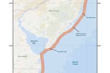
The Greater Atlantic Regional Fisheries Office is holding scoping meeting to solicit public comments on ways to reduce the risk of entanglement in trap and pot fisheries for right, humpback, and finback whales.
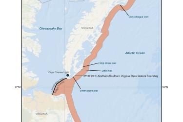
The Greater Atlantic Regional Fisheries Office is holding scoping meeting to solicit public comments on ways to reduce the risk of entanglement in trap and pot fisheries for right, humpback, and finback whales.
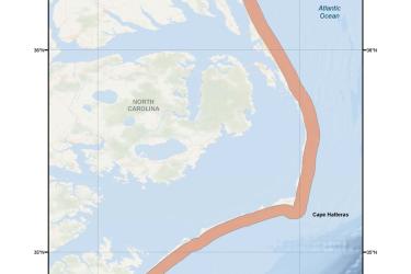
The Greater Atlantic Regional Fisheries Office is holding scoping meeting to solicit public comments on ways to reduce the risk of entanglement in trap and pot fisheries for right, humpback, and finback whales.
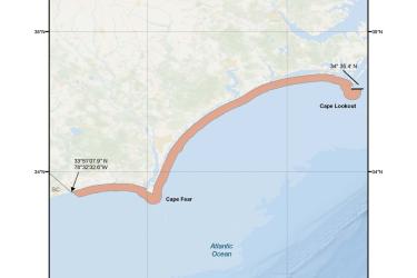
The Greater Atlantic Regional Fisheries Office is holding scoping meeting to solicit public comments on ways to reduce the risk of entanglement in trap and pot fisheries for right, humpback, and finback whales.