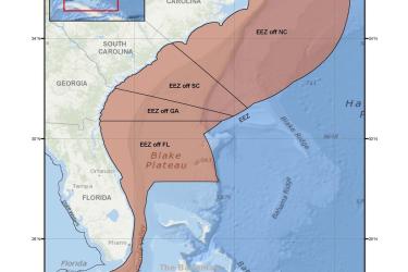
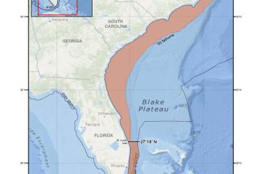
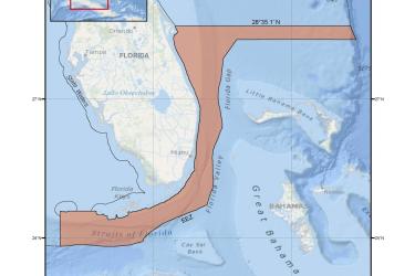
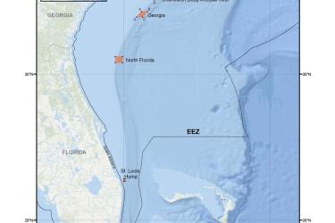
Map and GIS data representing the defined areas for fishery management in the South Atlantic Exclusive Economic Zone, 'off' North Carolina, South Carolina, Georgia and Florida.
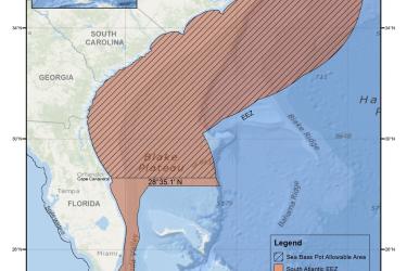
Map and GIS data representing the sea bass pots and associated buoys gear identification area for the snapper-grouper fishery management area in the South Atlantic Region.
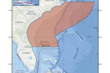
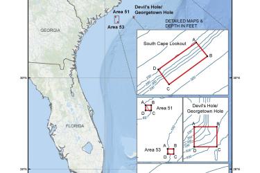
Map and GIS data representing the longline prohibited gear-restricted areas for the snapper-grouper fishery management areas in the South Atlantic Region.
Map and GIS data representing the sea bass pot prohibited gear-restricted area for the snapper-grouper fishery management area in the South Atlantic Region.
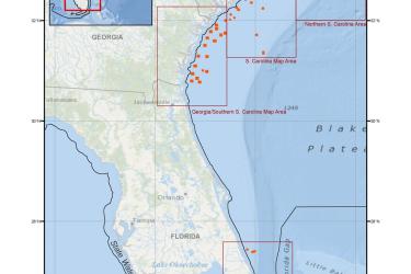
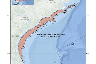
Map and GIS data representing the seasonal closure of the commercial black sea bass pot component of the snapper-grouper fishery for November 1-30 and April 1-30 in the South Atlantic Region.
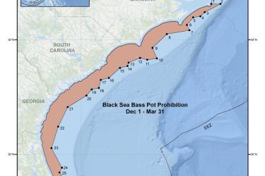
Map and GIS data representing the seasonal closure of the commercial black sea bass pot component of the snapper-grouper fishery from December 1 through March 31 in the South Atlantic Region.