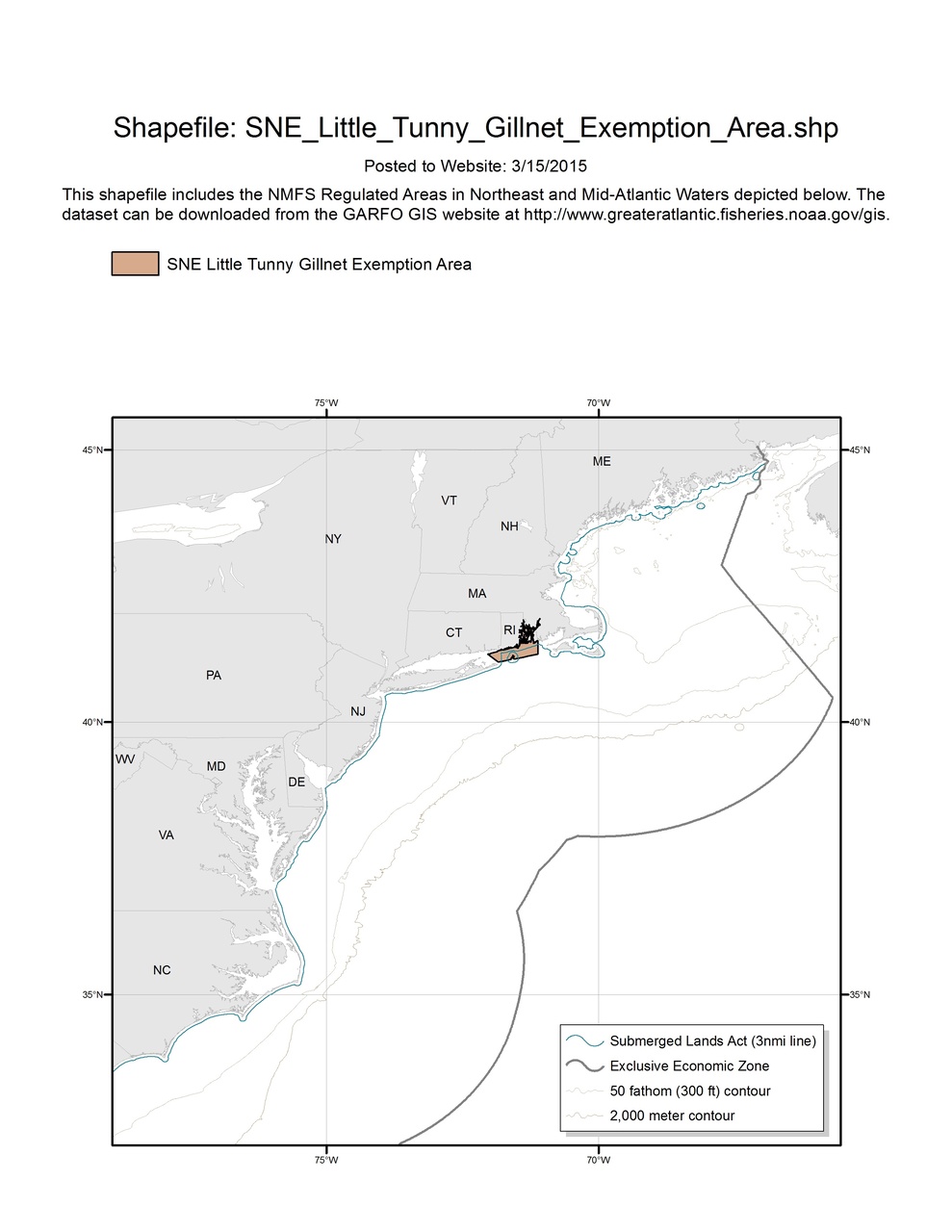
Southern New England Little Tunny Gillnet Exemption Area
Map depicting boundaries of the SNE Little Tunny Gillnet Exemption Area in the Greater Atlantic Region.

This dataset depicts the boundaries of the SNE Little Tunny Gillnet Exemption Area in ESRI shapefile format for the NOAA Fisheries Service’s Greater Atlantic Regional Fisheries Office (GARFO). This shapefile includes boundaries for the following Regulated Areas:
- SNE Little Tunny Gillnet Exemption Area