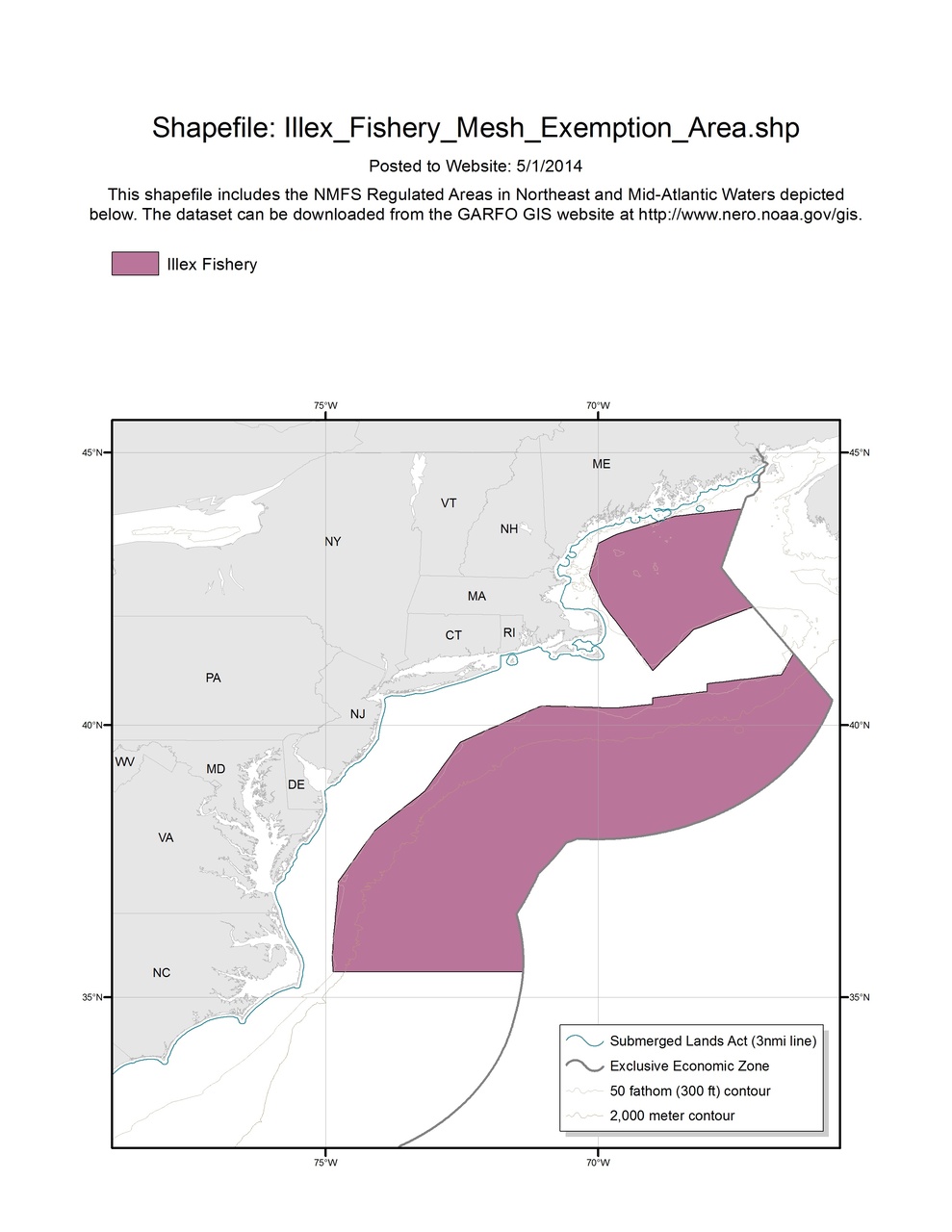
Illex Fishery Mesh Exemption Area
Map depicting Illex Fishery Mesh Exemption Area in the Greater Atlantic Region.

This dataset depicts the boundaries of the Illex Fishery Mesh Exemption Area in ESRI shapefile format for the NOAA Fisheries Service’s Greater Atlantic Regional Fisheries Office (GARFO). This shapefile includes boundaries for the following Regulated Areas:
- Illex Fishery