Unsupported Browser Detected

Internet Explorer lacks support for the features of this website. For the best experience, please use a modern browser such as Chrome, Firefox, or Edge.

Atlantic Chub Mackerel Management Unit

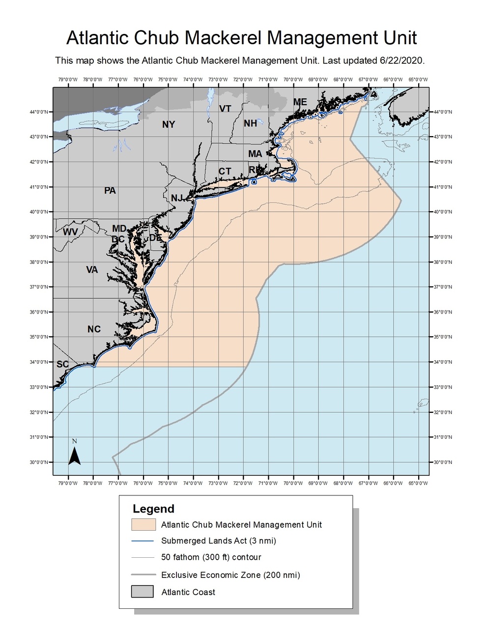
This dataset depicts the boundaries of the Atlantic Chub Mackerel Management Unit under a final Rule Implementing Amendment 21 to the Atlantic Mackerel, Squid, and Butterfish Fishery Management Plan.


Atlantic_Chub_map_2020622.jpg


This dataset depicts the boundaries of the Chub Mackerel Management Unit in ESRI shapefile format for the NOAA Fisheries Service’s Greater Atlantic Regional Fisheries Office (GARFO). This action implements measures required to formally integrate Atlantic chub mackerel as a stock in the fishery under the Atlantic Mackerel, Squid, and Butterfish Fishery Management Plan.


Because GIS projection and topology functions can change or generalize coordinates, these GIS files are considered to be approximate representations and are NOT an OFFICIAL record for the exact regulated area boundaries. For information on the official legal definition refer to the Use Constraints metadata section.

Last updated by Greater Atlantic Regional Fisheries Office on 08/13/2020