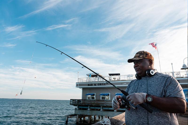
The Marine Recreational Information Program collects data from tens of thousands of saltwater fishing trips each year. Knowing where recreational anglers are fishing and what kind of trips are taking place at each site—whether it’s a trip from shore, a private boat, or a for-hire vessel—allows us to efficiently intercept a representative sample of trips. Anglers are an important resource for information about the places we conduct our shoreside intercept survey, and can even use our online database of saltwater access sites to find new places to fish.
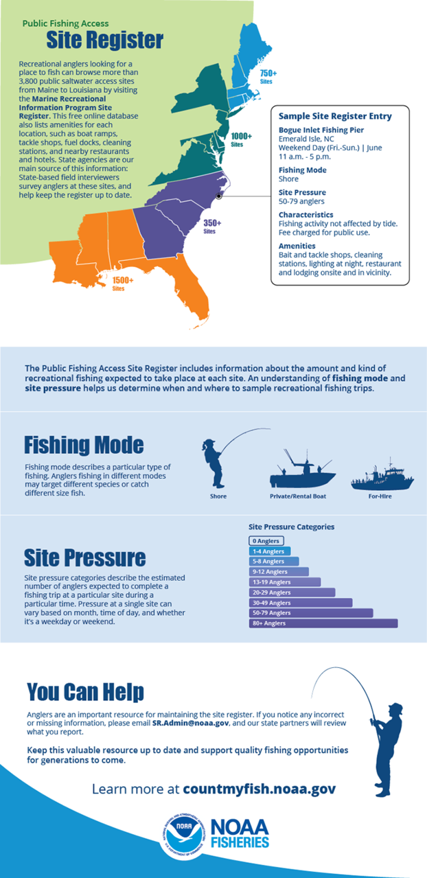
The Public Fishing Access Site Register features detailed information about marinas, boat ramps, and beaches along the Atlantic and Gulf coasts. Data includes site characteristics and estimated fishing pressure; available amenities such as cleaning stations, tackle shops, and fuel docks; and nearby restaurants and hotels.
Download our infographic to learn more about the role of the site register in recreational fishing data collection and discover how anglers can help keep the register up-to-date.
