Cetacean researchers from the Pacific Islands Fisheries Science Center are embarking on a winter research cruise. It’s called the Winter Hawaiian Islands Cetacean and Ecosystem Assessment Survey (WHICEAS, pronounced “why-sees”). They will study cetaceans (whales and dolphins) and seabirds around the main Hawaiian Islands aboard the NOAA Ship Oscar Elton Sette from January to March. This is a time of year they haven’t previously studied.

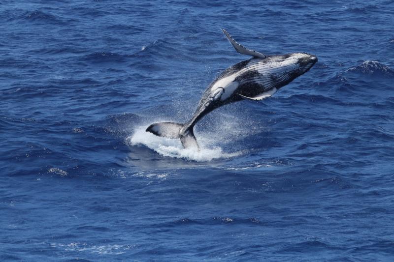
This winter survey provides an opportunity to focus on baleen whales such as humpback whales that generally migrate into Hawaiian waters during that period. It will also allow us to examine changes in density of other species between winter and summer. We will use traditional cetacean survey methods such as visual observations and acoustic detections.
The Sette will traverse along a systematic survey grid, but will also deploy Drifting Acoustic Spar Buoy Recorders. These recorders are attached to hydrophones nearly 500 feet (150 meters) deep. These buoys passively drift with the currents and collect acoustic recordings. They provide more detailed records of cetaceans even after the ship has moved to other portions of the study area. The depth of the hydrophones improves our ability to detect beaked whales since they spend much of their time at depth. It also helps us detect the low frequency calls of baleen whales that are missed by our towed hydrophone array.

WHICEAS 2020 is the third survey in a multi-agency plan called Pacific Marine Assessment Program for Protected Species (PacMAPPS).This program is a partnership between NOAA Fisheries, the Bureau of Ocean Energy Management, and the U.S. Navy to collect data and produce density estimates for species of joint management interest. PacMAPPS includes surveys throughout the Pacific to assess the abundance of cetacean species and their ecosystems. To date, two surveys have been completed: the 2017 HICEAS surveyed waters of the entire Hawaiian Archipelago and the 2018 California Current Ecosystem Survey surveyed offshore of the U.S. West Coast.