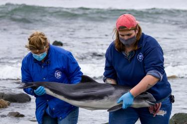
Conservation partners, including NOAA Fisheries, have created new guidelines for monitoring fish and habitat in wetlands throughout the San Francisco Bay Estuary. They will improve scientific understanding and apply lessons learned to make future restoration even more successful and cost-effective. The guidelines were developed for the San Francisco Wetlands Regional Monitoring Program,
San Francisco Bay includes the sprawling estuaries of numerous rivers that provide nursery habitat for salmon and many other species that depend on the Estuary for habitat, food, and much more. About 85 percent of the Bay’s original vegetated tidal wetlands have disappeared. The remaining wetlands face further development pressures as well as rising sea levels and other impacts of climate change.
The erosion and disappearance of the wetlands and other natural features can also put surrounding communities at risk. The new guidelines are designed to collect and channel monitoring data into meaningful lessons learned. They can help accelerate and strengthen a regional goal of protecting and restoring 100,000 acres of wetlands by 2030.

Standardizing Regional Data
“Instead of disconnected project-specific surveys that cannot be integrated and are often forgotten, the new guidelines aim to standardize the collection and archival of data that…will have broader and longer-lasting value,” said Dr. Levi Lewis, one of the leaders of the workgroup that developed the guidelines. “An example of this is the UC Davis long-term Suisun Marsh Fish Study which has been replicated by shorter-term studies to provide the first regional comparison of aquatic wetland communities across the Estuary (see our collaborative Center for Watershed Sciences’ Incubator Project).”
“By working collectively and across disciplines, we can better inform our understanding at the landscape level and use that information to make better decisions about restoration,” said Alison Weber-Stover, the NOAA Fisheries co-leader of the workgroup that developed the guidelines. “That will give us new insight into what works and why, at a time when we need it most.”
The Wetlands Regional Monitoring Program draws on the strengths of a broad community of restoration practitioners, scientists, and resource agencies. They collaborate to standardize procedures and share data, Weber-Stover said. Together, this standardization and integration of monitoring across the Estuary will significantly advance our understanding of wetland ecology and restoration.