Internet Explorer lacks support for the features of this website. For the best experience, please use a modern browser such as Chrome, Firefox, or Edge.
Monitoring Island Health in the Chesapeake Bay
August 25, 2023
A team uses technology to track the effects of climate change on the Goodwin Islands, located in the Middle Peninsula Habitat Focus Area.
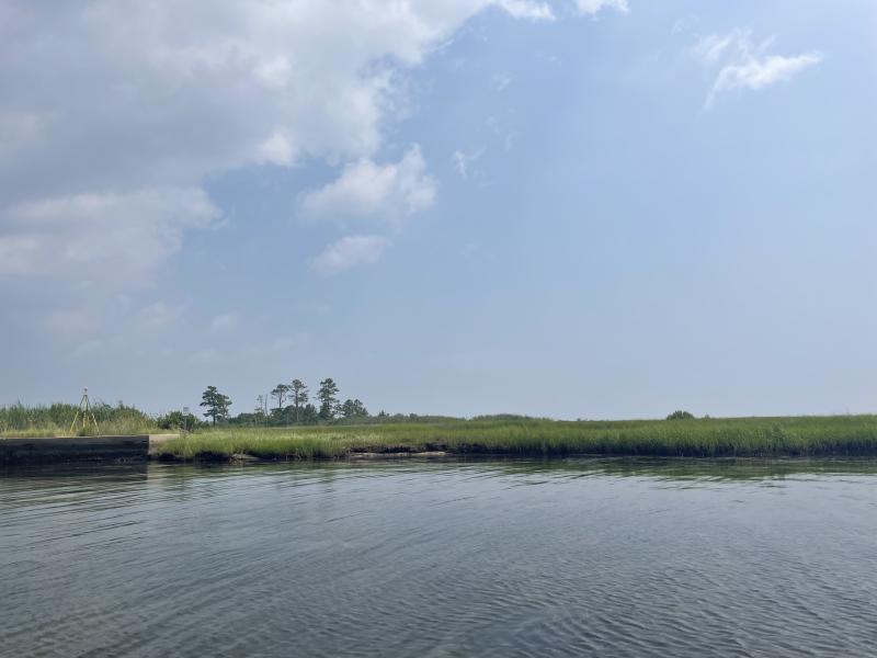
The Goodwin Islands are mostly marshland but also include some forested areas. Photo: Tricia Hooper, NOAA Office for Coastal Management
The Goodwin Islands are a collection of primarily salt marsh islands surrounded by intertidal flats and extensive beds of submerged aquatic vegetation. They are located on the south side of Virginia’s York River, where it meets the Chesapeake Bay. They are part of NOAA’s Middle Peninsula Habitat Focus Area. Habitat Focus Areas are places where NOAA addresses a high-priority habitat issue by working with partners and communities.
In the Goodwin Islands, climate change threatens habitat and the species that depend on it. Waves caused by intense storms chip away at the shoreline, especially on the islands’ more exposed east and south shorelines. Rising waters bring saltwater intrusion that affects plant life. These changes can mean that areas that were formerly upland forests become marshes, and former marshy areas become open water.
At the Goodwin Islands, scientists study how submerged aquatic vegetation and coastal marshes respond to environmental change. A recent visit to Goodwin Islands, captured in these photos, highlights the beauty of the area and showcases some of the science happening in the Reserve.
Image
Submerged aquatic vegetation —underwater grasses—are healthy in this location just off a Goodwin Islands shoreline. Their success can vary from year to year; early summer 2023 was a good time for SAV at Goodwin Islands. (All photos by Tricia Hooper, NOAA Office for Coastal Management)
Image
NOAA Hollings Scholar Tochi Iwuji examines an SAV sample that was collected as part of the effort to track the health and extent of SAV beds near Goodwin Islands.
Image
SAV provides a refuge for some species including fish and crabs, and can serve as food for waterfowl. And if you look closely, you’ll see that some species attach themselves to strands of underwater grass (like these polychaete worm tubes), so the SAV is their home.
Image
At Goodwin Islands, different kinds of habitat—saltmarsh, grasslands, salt scrub, and upland forests—exist in close proximity to one another, providing resources for many species.
Image
Zachary Topor, Ph.D., a Knauss Fellow (left), and Alex Demeo, a Reserve scientist (right), prepare to launch a fixed-wing drone. The drone flies transects over the islands to map shoreline locations and vegetation.
Image
Reserve scientist Alex Demeo (seated), Reserve Field Support Technician Sarah Brazil (standing, green ball cap), NOAA Knauss Fellow Zachary Topor, Ph.D. (turquoise shirt), NOAA Hollings Scholar Tochi Iwuji (purple shirt), and other Reserve staff monitor the data the drone is collecting.
Image
Reserve scientist Scott Lerberg monitors the surface elevation at sites around Goodwin Islands. Lerberg and his team measure changes in elevation related to sea level rise.
Image
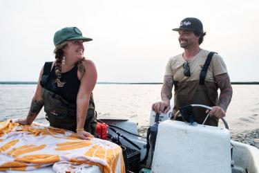
The remote Goodwin Islands can only be accessed by scientists by boat. Access is carefully managed to protect the vibrant habitats. Here, the Virginia Reserve/VIMS/NOAA team gets ready to launch a boat to head out to the Islands.