Refine Results
Region
Management Areas
Map Type
Map Category
Topic
Species Category

Maps

469 resources match your filter criteria.

Social Indicators of Gentrification Pressure

How Gentrification is Affecting 29 Fishing Communities in the Northeast United States
May 26, 2021 - Map ,
Surf crashing on rocks.

Omnibus Deep-Sea Coral Amendment

Maps and GIS data representing Omnibus Deep-Sea Coral Amendment.
April 17, 2021 - Map ,

Herring Inshore Midwater Trawl Restricted Area

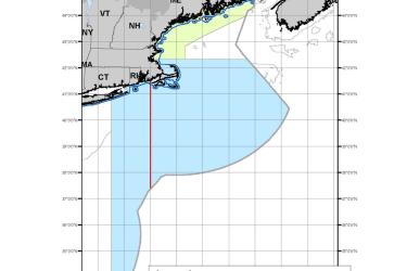
This dataset depicts the boundaries of the Inshore Midwater Trawl Restricted Area in ESRI shapefile format as described in Amendment 8 of the Atlantic Herring Fishery Management Plan.
February 16, 2021 - Map ,
Inshore Midwater Trawl Restricted Area Map

Alaska Groundfish Tagging Map

The National Marine Fisheries Service (NMFS) has been tagging and releasing groundfish in Alaska waters since 1972. In that time, approximately 452,000 tags have been released and over 36,000 have been recovered.
November 16, 2020 - Map ,

Cashes Ledge Groundfish Closure Area

Cashes Ledge Groundfish Closure Area is included in the Northeast Multispecies Closed Area Regulations for the Gulf of Maine.
October 01, 2020 - Map ,
Cashes Ledge Groundfish Closure Area. This map includes the Ammen Rock Area Habitat Management Area, Fippennies Ledge Habitat Management Area and the Cashes Ledge Closure Area and Cashes Ledge Habitat Management Area. Map created 7/23/2020.

Atlantic Chub Mackerel Management Unit

This dataset depicts the boundaries of the Atlantic Chub Mackerel Management Unit under a final Rule Implementing Amendment 21 to the Atlantic Mackerel, Squid, and Butterfish Fishery Management Plan.
August 04, 2020 - Map ,
Atlantic_Chub_map_2020622.jpg

Clam Dredge Exemption Areas in the Great South Channel Habitat Management Area

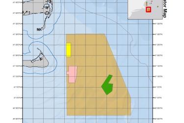
This dataset depicts the boundaries of Clam Dredge Exemption Areas in the Great South Channel Habitat Management Area under the Habitat Clam Dredge Exemption Framework.
June 04, 2020 - Map ,
Clam_Dredge_Areas_202064.jpg

Storymap: Scallop Map 2018

Take a tour of each section of the scallop regulations in 2018 in this storymap.
May 20, 2020 - Map ,
ScallopStorymap1.PNG

Georges Bank/Southern New England Scallop Dredge Exemption Area

This dataset depicts the boundaries of the Georges Bank/Southern New England (GB/SNE) Scallop Dredge Exemption Area.
May 13, 2020 - Map ,
GOM_and SG_SNE_Dredge_Exemption_Areas_202058.jpg

Gulf of Maine Scallop Dredge Exemption Area

This dataset depicts the boundaries of the Gulf of Maine (GOM) Scallop Dredge Exemption Area.
May 13, 2020 - Map ,