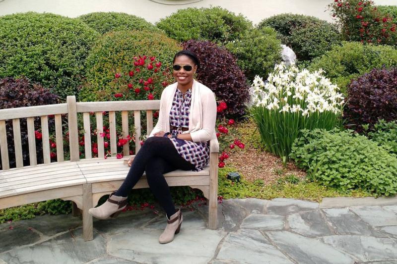
Renee Eaton is a GIS Developer with ERT contracting for NOAA Fisheries Office of Habitat Conservation. She has been with NOAA for 6 years and currently works in our Headquarters in Silver Spring, Maryland.
Describe a project related to habitat that you’re currently working on or that you enjoyed.
When I first started working for the Office of Habitat Conservation, I worked on a really great outreach product called What’s Wild in Our Wetlands? The product displays different types of coastal wetlands found across the United States and fun facts about the fish that live there. I learned a lot about this particular type of habitat, how vulnerable it is, and how amazing the fish are that live there. It was easy to get pulled into researching these fascinating places and creatures. Without even leaving my desk, I got to see some incredible places around the country. One of my favorite habitat photos is of huge bald cypress and water tupelo trees found in the swamps of Louisiana and other parts of the Gulf.
A fun fact about the crawfish that live there is that they shed and eat their own skin to build a strong outer shell. For the next several months after completing the project, I aced any and all trivia questions while watching the television show River Monsters that involves 100 odd species.
What habitat work has been especially successful or inspiring to you?
As a GIS developer, data sharing and accessibility is a big part of my role. I spend much of my time transforming the way people look at habitat policy and restoration efforts through spatial mapping and analysis. I take pride in each and every map and mapping application that I create. I recently worked to redesign NOAA’s Restoration Atlas. It's one example of a successful GIS project that changes the way users access data and interact with the valuable and hard work of our staff and partners.
Describe a time when you were surprised by fish and/or habitat.
The Town Brook restoration projects in Plymouth, Massachusetts continue to amaze me. I first learned about this effort through colleagues that were more closely involved in the overall planning and execution. My role was to help design an immersive experience that highlights the impacts of the completed restoration work. I learned a great deal about the cultural and historical significance of this small stream and the fish that navigate its waters to and from their spawning habitat. For hundreds of years, dams in the 1.5-mile stream blocked fish from passing and caused populations to decline. With the reengineering and removal of these barriers, researchers projected that more than three times the amount of fish will return to the area within the first year alone. What’s incredible is how quickly the effects of restoration can be noticed and that even a small change can have such a big impact.
What person has expanded your understanding or connection to habitat?
When I think about who specifically has expanded my understanding of habitat, there isn’t a single individual that comes to mind; in fact, there are several. Whether it’s developing a complex mapping application or helping to design a public outreach tool, each project offers an opportunity to learn something new about our varying programs. Each team member, from the habitat specialist and program manager to the data analyst and communication specialist, brings a unique perspective of what habitat means to them.


