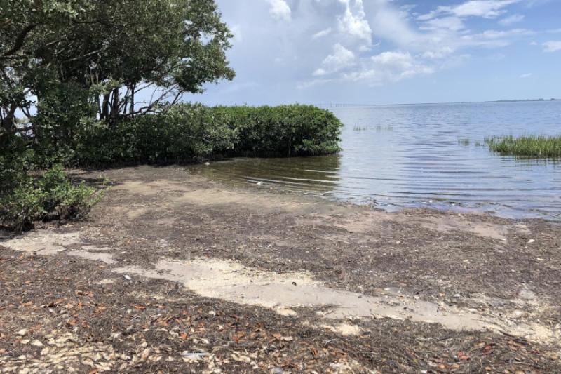
You’ve probably heard that Florida’s Gulf Coast is experiencing a worse-than-normal red tide event again this year. While red tide, or a harmful algal bloom, is a seasonal phenomenon, some years it is worse than others. Scientists at NOAA and many other agencies and organizations are trying to predict changing conditions, so that people and businesses can plan ahead.
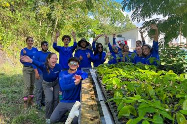
Our team at NOAA’s Southeast Fisheries Science Center is collecting oceanographic data from commercial fishermen offshore of Tampa Bay. It’s part of our collaboration with the Florida Commercial Watermen’s Conservation. Initially, their information will help to plan research activities, such as identifying locations where we should focus our research efforts. As we collect more data, these offshore observations will be important in understanding the impacts on managed species. The observations will provide key information that could be used by the fishing community to mitigate the impact of these events.

One of the challenges in identifying red tides is that they are not a single featureless blob. They can have many different smaller blooms distributed along the coastline and offshore. Since fishermen are already out on the water and a healthy ocean is important to them, it is a natural partnership. Fishermen know the waters and know when something is different. They are often the first to notice red tide conditions. Their data on temperature, salinity, oxygen concentrations and other physical characteristics provides necessary information for forecasting bloom behavior. It also helps us to gather data faster and has been crucial in filling information gaps between research missions. Traditional research missions can be expensive and complex operations to plan, and are currently more complicated by COVID restrictions.
In 2018, during another significant red tide event, we spoke with fishing community members to understand how frequent severe red tide events were impacting their businesses. We are interested in hearing from the fishing community this year, too. We want to understand what issues and concerns they have and what they are seeing when they are out on the water. We also want to know what sort of information would help their businesses survive these difficult times. If any fishermen are interested in sharing their observations about Florida’s red tide, please contact Matt McPherson at (305) 365-4112 or Mandy Karnauskas at (305) 361-4592.
Conditions vary from location to location because of currents, winds, and other factors. Several agencies are partnering to provide information and data about the red tide event, including any potential health impacts. Check conditions at your beach or offshore to stay safe.